Travle
A map linking a start country to an end country
Travle is a geography route puzzle. Name the countries needed to connect a given start and end country, aiming for the shortest route with as few guesses as possible.
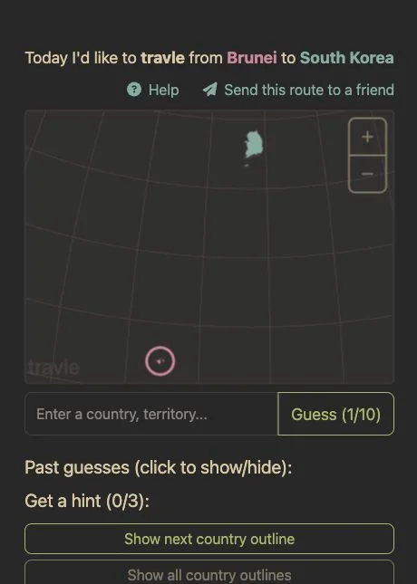 Original game
Open the original game. Keep this guide handy.
Check the start and end countries before entering the next country on your route.
Name the countries you would pass through. The game counts bridges and tunnels and applies its listed border exceptions.
An optimal guess advances the route. A green guess is on the shortest path but may not be the next step; disconnected guesses appear grey.
Reach the destination with as few guesses as possible. Feedback distinguishes an optimal next step, another shortest-path country, a nearby detour and a major detour.
An illustrative guide to the feedback, not today’s solution.
| Feedback or action | What it means |
|---|---|
| Optimal marker | The next step brings you closer |
| Green | On the shortest path, but not the next step |
| Orange | Nearby, without bringing you closer |
| Red | A significant detour |
A country can be on the right route without being your next connected step.
Clueffy’s Day 3 compilation names Travle alongside Strands and Hidden Layer. Its route-map segment matches travle.earth.
travle.earth · Country routes
Sources checked · How we check games
A map linking a start country to an end country
Bridges and tunnels count. The help lists exceptions, including Ireland to the United Kingdom and Indonesia to Malaysia.
It is not connected to the start country through your current route.
The current game offers the next country outline, all country outlines and country initials.
 Explore game
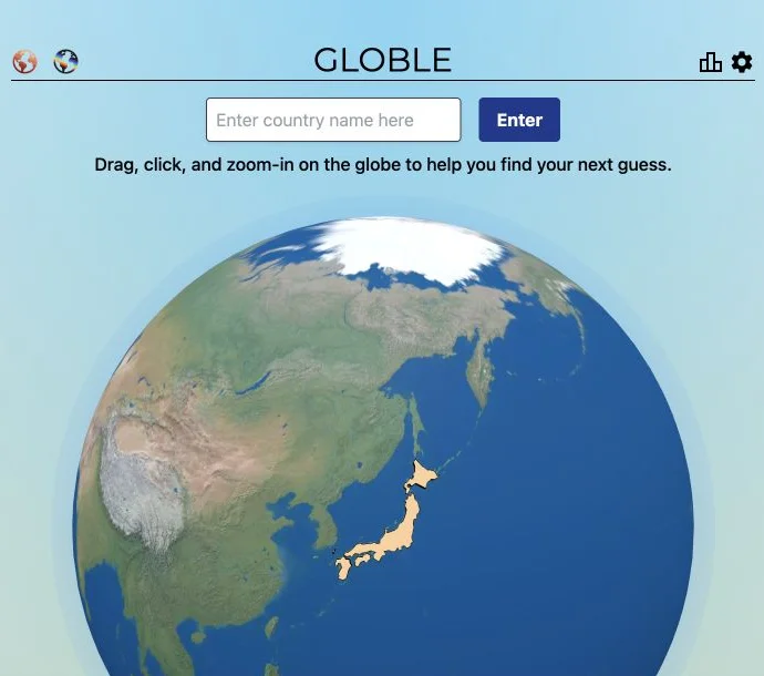
Warmer countries bring you closer.
Let’s play Explore game
Follow your taste around the world.
Let’s play Explore game
Put a moment in its place in time.
Let’s play